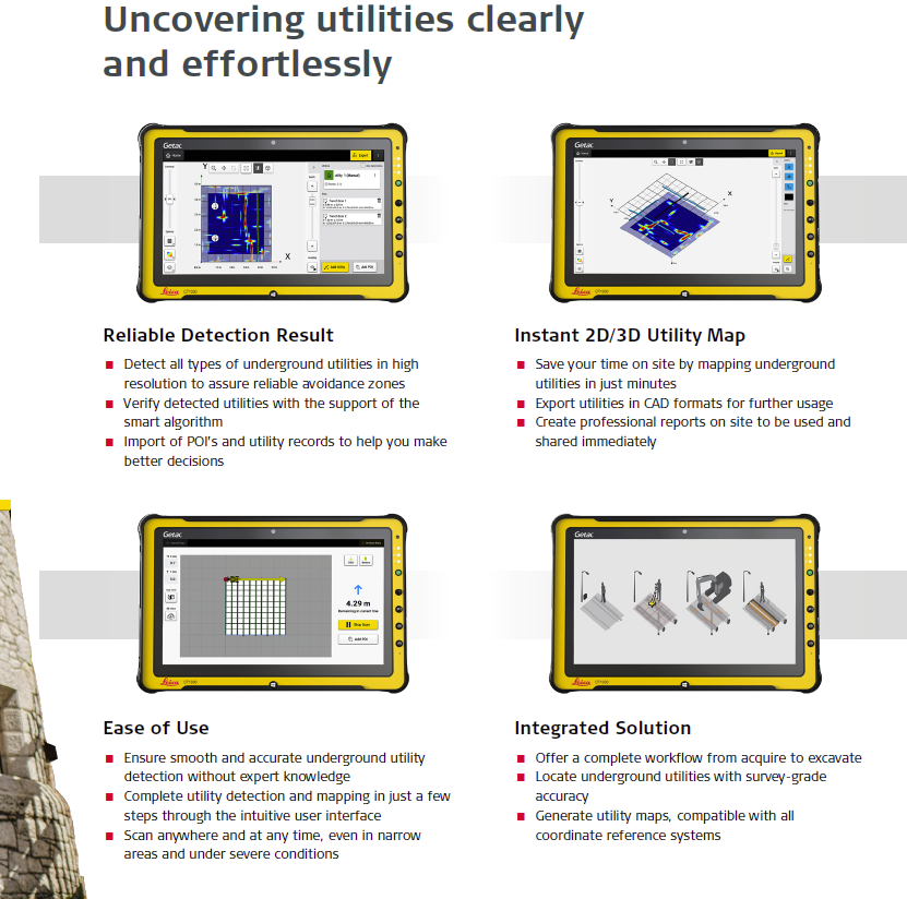
Uncovering utilities clearly and effortlessly Quickly and easily locate and map underground utilities with the new Leica DSX non-destructive detection solution. DXplore software delivers instant, clear and accurate visualization of utilities in the field. Integrating best practice, simple and most reliable workflow for utility detection and mapping. Plug’n’play solution with positioning sensors and easy export to machine control, delivering instant 3D utility map and assuring most productivity.


